12 April 2024
Ability to rapidly analyse soil samples advanced in Terra Soil project
Results of the five-year Terra Soil project, a collaboration between Teagasc and Geological Survey Ireland, were released at its final conference, today, April 12.
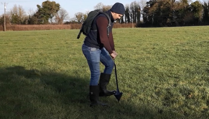
As part of the project, over 10,000 soil samples were analysed and investigated to help better understand soil phosphorus behaviour and soil properties across the northern half of the country.
New maps and outputs from the research highlight variations in both chemical and physical soil parameters across different regions. Patterns of soil health, in particular phosphorus behaviour interpolated based on geochemical analysis, will better inform phosphorus management.
In addition, micro and macro nutrients such as Ca (Calcium), Cu (Copper), K (Potassium), Mg (Magnesium), Mn (Manganese) and Zn (Zinc) have been determined and mapped for concentration and soil indices.
Additionally, the novel use of infra-red spectroscopy (MIR) has enabled a new predictive method for determining soil particle size (percentage of sand, silt and clay), texture class, pH, lime requirement, organic matter, total carbon, total nitrogen, total organic carbon and cation exchange capacity. MIR is a cost-effective and rapid way of analysing multiple soil properties simultaneously. The Terra Soil project has demonstrated how we can apply multiple datasets to develop soil compaction and leaching potential risk assessment models.
Optimising the management of soils
The project team from the Tellus Programme, in Geological Survey Ireland, and Teagasc hope this new information will help farmers optimise the management of their soils and enhance soil health based on a better understanding of spatial patterns of texture, phosphorus, carbon and other nutrients. While scientists will use the new information to better understand Irish soils and support Ireland’s response to the upcoming EU soil monitoring and resilience law.
John Spink, Head of the Teagasc Crops, Environment and Land Use Programme added: “The collaboration has advanced our ability to rapidly analyse soil samples and use the information to predict and map multiple soil variables to help visualise patterns in soil texture and behaviour of soil nutrients to better inform how we manage soils. Following from this successful collaboration, we very much look forward to working with our colleagues in Geological Survey Ireland in the future.”
Koen Verbruggen, Director of Geological Survey Ireland, commented: “The Terra Soil project has been a successful collaboration between Geological Survey Ireland and Teagasc, taking complex scientific data and applying the results to produce useable agronomic indicators which have a practical benefit to the farmer. This is a great example of two state bodies sharing skills, data and information, and working closely together to improve our understanding of soil, which is of vital importance, not just for farmers, but all of us in Ireland.”
New data reports and over 30 new maps will be released via the Terra Soil project website