Scope to increase farmer awareness of Pollution Impact Potential Maps
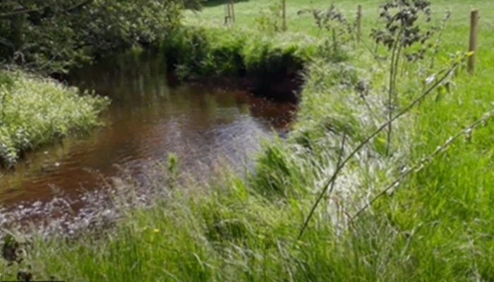
A study completed as part of the Teagasc/UCD Master’s Programme has shed new light on farmer and advisor awareness of Pollution Impact Potential (PIP) maps, a valuable decision support tool for identifying areas where nutrients are most likely to enter watercourses and affect water quality.
Presented as part of the joint Teagasc/UCD Knowledge Transfer Conference 2026 on October 22, Ábagh Harten, a master’s Student under the supervision of Dr. Michele McCormack, Teagasc, and Dr. Edel Kelly, UCD, discussed mechanisms to enhance water quality management in agricultural landscapes.
Harten’s study investigated the potential of Teagasc NMP PIP Maps to influence nutrient management decisions and support a more targeted approach to improving water quality.
The research had three primary aims:
- Investigate farmers’ perceptions, knowledge, use and attitudes towards water quality management and pollution mitigation measures.
- Develop tailored strategies to help farmers and advisors interpret and utilise online PIP Maps for improving water quality on their farms.
- Provide recommendations and guidelines for integrating online PIP maps into agricultural extension services and farm management practices.
This research assessed farmers’ and advisors’ awareness, knowledge and perceptions of Pollution Impact Potential (PIP) Map were assessed.
“PIP Map awareness among farmers was low, 35% of farmers have no awareness of PIP maps. Of those farmers who were aware, perceived usefulness and perceived ease of use were strong predictors of future use. When the potential benefits were explained, 87% expressed interest in PIP Map training and PIP Maps were perceived as useful for identifying nutrient-loss risks and supporting farm decision-making.
“Advisor awareness was high (95%), but practical knowledge, confidence and frequency of use were limited, with lack of knowledge and confidence identified as key barriers,” Ábagh Harten explained at the Knowledge Transfer Conference for Future Ready Farming on October 22.
From this research, a suite of supports was developed to increase understanding, confidence and perceived usefulness of PIP maps. Actions included the development of a targeted video providing practical guidance, along with workshop materials to support advisors in strengthening farm-level contributions to water quality improvements.
“PIP Maps are unlikely to influence farm practice through availability alone. Structured training can help farmers and advisors identify critical source areas, target mitigation measures, improve resource efficiency and strengthen farm-level contributions to water-quality objectives,” Ábagh Harten explained.
For more information on the Teagasc/UCD Knowledge Transfer Conference, visit here.
To find out more about Pollution Impact Potential Maps, visit here.