A new project began this year, funded by Teagasc and in collaboration with SRUC (Scotland), investigating the effects of summer hill grazing on ewe and lamb performance, Michael Dever, Teagasc Walsh Scholar, fills us in on the study and what it hopes to achieve.
Grazing the uplands with sheep can be challenging and perceived losses in lamb performance are often cited as a reason to retain ewes and lambs on enclosed ground for longer during the spring/summer.
This experiment is comparing the performance of ewes and their lambs released to the hill at different times after lambing to investigate the effect that this has on hill grazing behaviour, lamb pre-weaning growth and hill vegetation. Ewe and lamb liveweight and body condition score, the area of the hill grazed by the ewes and samples of the vegetation grazed are examples of the data being collected.
To establish the initial condition of the hill, a baseline ecological survey was conducted in June. The hill was divided into zones to represent general habitat areas. Each zone was walked and scored to develop a baseline for the species variety and herbage structure on the hill. These zones will be scored again in year three to identify any changes over the trial period.
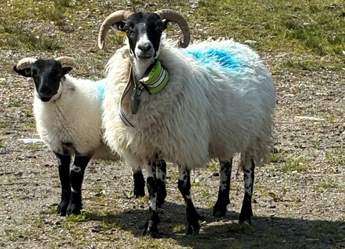
In May and June, three groups of ewes with single lambs at foot were released to the hill at three different times to begin summer grazing. Ewes from each group were equipped with GPS collars to track their movements while on the hill. The hill grazing period ended in August when the lambs were weaned from the ewes and moved to lowland grazing.
Tracking movement
The GPS unit tracks the ewe’s position by taking a location fix from the GPS satellites. This location is then transmitted to a server over GSM, which is the same transmission network used by mobile phones. Once the location fix arrives at the server, it is stored and then visualised on a mobile phone application which can be used to find the sheep based on the last received location fix. The latitude and longitude data can also be downloaded from this server and used to create maps showing where the sheep have been and how much of the hill they have grazed.
The location data is also being used to collect samples of the vegetation growing in areas of high and low grazing pressure within each scoring zone. These samples are studied to show what is growing in different areas and will be chemically analysed to compare their feed values. The location fixes can also be used to show how usage of the hill changes over the summer and what areas form core parts of the ewe’s home range (heft).
Analysis of data collected this year will be completed over the coming winter before trials begin again next spring.
More from Teagasc Daily: Weighing up the options with store lambs
More from Teagasc Daily: Managing liver fluke in sheep